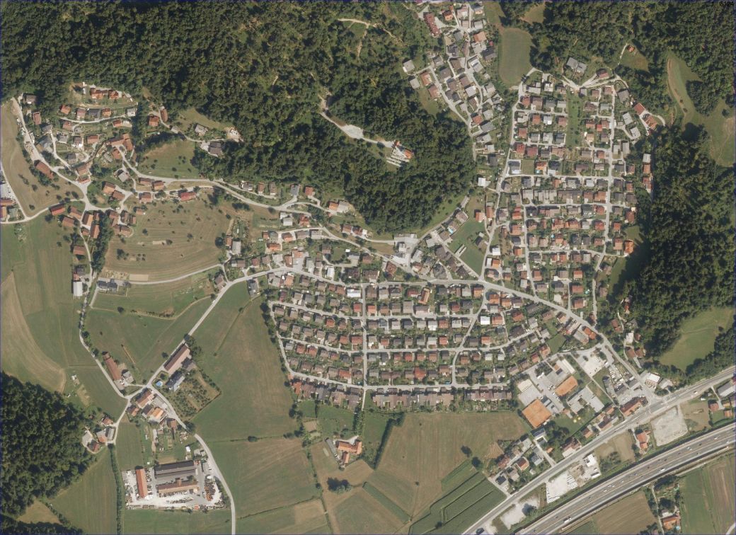
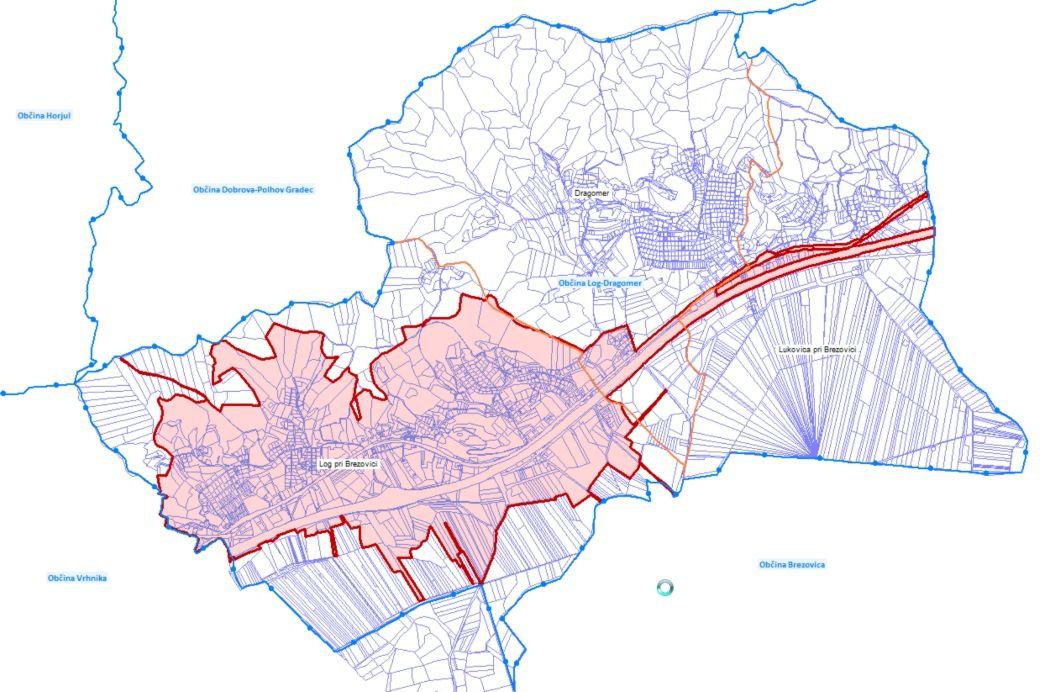
- 305 haarea of the municipality, included in the project
- 1.897plots with improved location data
- ± 0.46 mstandard deviation of new land cadastre points
Poor accuracy of the location data of the land cadaster makes the preparation and enforcement of municipal and state spatial plans, agricultural policy, environmental protection, valuation, and real estate taxation, management of transport and communal infrastructure facilities more difficult. These problems were also encountered by the municipality of Log – Dragomer, who decided to make data improvements, in cooperation with LGB, for the area of the Log settlement.
On the basis of the analysis of the land registry data of the urban area of the Log settlement, field measurements and processing of the collection of documents, the land cadaster presentation was transformed into the state horizontal coordinate system D48 / GK and a geodetic plan with land registry content was prepared.
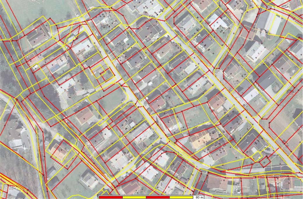
Due to the methods of preparation and maintenance of cadastral maps, after the transformation into the national horizontal coordinate system D48 / GK, there have been major discrepancies between the land cadastre presentation and the situation in nature.
In cooperation with the Department of Geodesy of the Faculty of Civil and Geodetic Engineering, we developed a methodology for improving the location data of the land cadastre, according to which the positions of the new land cadastre points are calculated by homogenizing the data with the membrane method. Using this method, it was possible to improve the precision of the land cadastre presentation. Particularly in urban areas, where the standard deviation of the position of the new land cadastre points can be achieved, the improvement is even ± 0.5 m.
With the professional approach, we managed to improve the positional accuracy in the Log – Dragomer project from ± 5 m to just ± 0.46 m.
Improved location data thus enable the local community to better understand the property-legal relations in the area and easier planning of interventions in the area.


