- 18cemeteries included
- 58.000graves
- 5.500trees
The public company ŽALE is the largest Slovenian cemetery manager. It manages 18 cemeteries, which are located in Ljubljana and its surroundings. It maintains about 58,000 graves, of which 44,500 are at the central cemetery in Ljubljana, which is by far the largest cemetery in Slovenia and continues to expand.
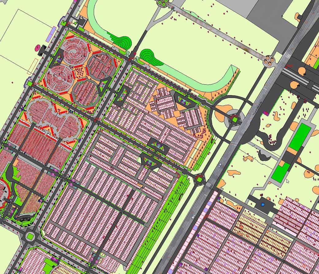
In 2003, ŽALE had an extensive database of graves, grave tenants and deceased persons. For the more efficient management and maintenance of their cemeteries, an information system was needed to link their data records with spatial data and enable them to centrally manage data records. They decided to establish a geospatial information system and LGB was selected for the contractor.
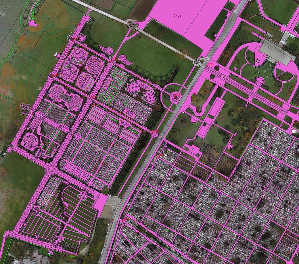
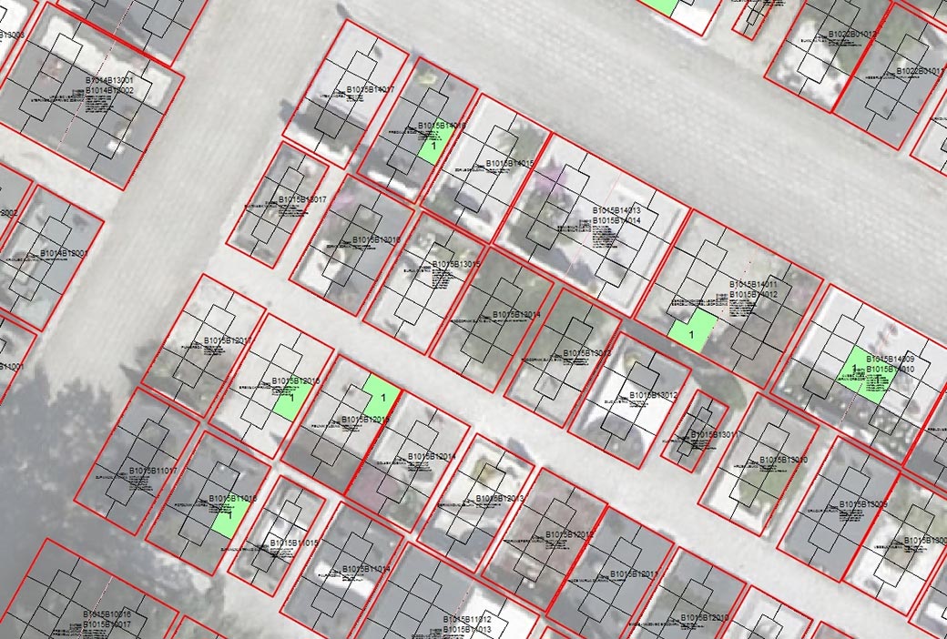
In the first phase of the project, we developed a geospatial information system for Žale, in which we established the exact topographic content and a network of graves. In the second phase, we then linked all data on graves, tenants and deceased with spatial data of the graves. We have developed algorithms for searching and viewing data and preparing documents.
In the continuation of the project, in the third phase, we also created an automated system for the entry and maintenance of records of services provided in the context of cemetery activities and the preparation of reports on performed works. It is the Delovodnik application, which facilitated the accounting of performed services and reporting on this to the City of Ljubljana. Thus we enabled the client to more transparent traceability of the performed works.
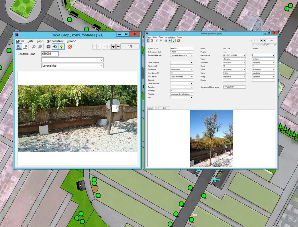
In addition to the desktop version of the system, we also created a web and mobile application that enables the user to directly capture the data on the field.
Today, the geospatial information system is the essential tool for ŽALE, which combines all data for the central management of records of graves, tenants, deceased, cemetery buildings, real estate, public greenery, infrastructure, and workplace. With the development of the cemeteries, increasing their scope and introducing new services, the system has become a complex information solution. It enables transparent operation, efficient and more accurate billing of services, daily and monthly reporting, and historical traceability for all years since the system is in use.
The cooperation of LGB and ŽALE continues, as the LGB maintains the geospatial information system, keeps track of changes in cemeteries and updates spatial databases.


