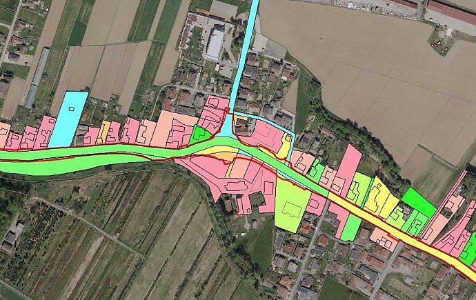
In GIS consulting and solution implementation, we plan and implement a computerized information system in a way that will help us to understand, visualize and interpret spatial data in ways that reveal their interrelationships and even predict trends. In a human-friendly graphic way, in the form of maps, globes, reports, or diagrams, they help us to obtain useful information from the data which we need to make decisions easier.
To develop an efficient GIS a good knowledge of the client’s business system, its objectives and vision and the existing information system is needed. This enables us to create such information products and services that will enable easier and cheaper implementation of the existing tasks of the client and achieving its strategic advantage.
When GIS consulting and solution implementation?
The GIS needs to be implemented when you need:
- answer to questions, e.g.:
- what’s in a particular location
- where a particular object is located
- where is the location that meets certain condition
- what has changed over a given period of time
- what are the connections between spatial and non-spatial data
- how a spatial change will affect other phenomena in space
- spatial data in one place, arranged and described
- good accessibility, security and spatial data control
- increasing the speed of distribution and acquisition of spatial data and documents
Why GIS consulting and solution implementation?
The GIS needs to be implemented:
- to acquire professional basis for design purposes
- to facilitate spatial planning
- to facilitate the management of infrastructure and real estate
- for greater transparency of operations and easier decision-making related to the space


