Our Services
Modern geoinformation technologies have changed our lives. They changed the way we work, decide and change the world around us. At any moment, we have access to a number of spatial data that poses a challenge to us, how to properly edit and connect them so that they can be used to facilitate space management and our spatial developments.
In the present time, spatial data has become the basis for quality decision making, since it is possible to better understand the market, customers and competition by combining various business information with spatial data.
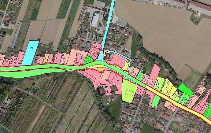
Geospatial Information Systems (GIS) help us understand, visualize and interpret spatial data in ways that reveal their interactions and even predict trends. In a human-friendly graphic way, in the form of maps, globes, reports, or diagrams, they help us to obtain useful information from the data which we need to make decisions easier.
What can we do for you?
LGB deals with the specialized development of GIS of the highest quality for complex applications and for demanding clients. From the creation, processing and maintenance of databases, to spatial analysis, modelling and presentation tailored to our customers.
We adapt the client’s needs to the project approach in:
- Analysis and selection of the GIS model
- Selection and integration of equipment
- Building and linking databases
- Creation of applications
Our solutions support spatial planning and development at the national, regional and local levels and enable the management of infrastructure and real estate. With a thorough knowledge of modern information technologies, cartography and land surveying, we successfully integrate GIS systems into the business processes of our clients, which are becoming indispensable for planning, management and decision making.
Our comprehensive offer in the field of GIS comprises solutions for the following types:
- desktop GIS solutions
- online GIS solutions
- mobile GIS solutions


