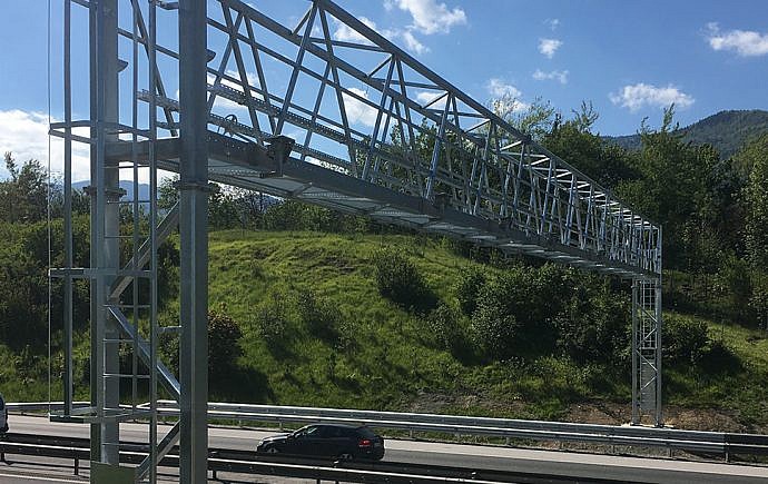
The geodetic plan of the new land status after completion of the construction is a presentation of the actual state of the new construction. It is one of the plans in the as-built design. It shall be used as an appendix to the requirement for the issue of an operating permit.
Geodetic plan of the new land status in accordance with geodetic regulations is produced as a topographic/cadastral plan.
When is the geodetic plan of new land status needed?
- after the construction of all facilities or spatial interventions, which were carried out on the basis of a building permit
Why is the geodetic plan of new land status needed?
- The geodetic plan for new land status after the completion of the construction is a compulsory appendix for the issuance of a building permit and in the continuation serves as a basis for registering in public records


